Global Heritage Press
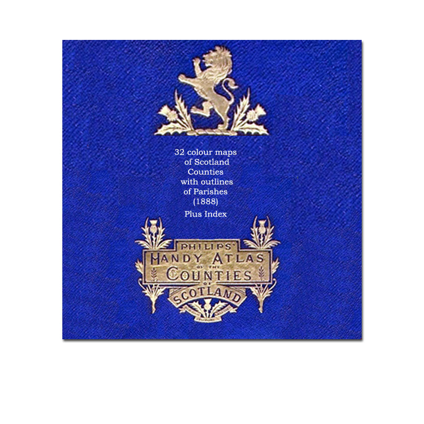
1888 Philip's Handy Atlas of the Counties of Scotland (with Parishes)
1888 Philip's Handy Atlas of the Counties of Scotland (with Parishes)
Couldn't load pickup availability
By John Bartholomew
Maps are a treasure trove for family historians and researchers. These 32 full colour maps include a 34 page index to point you to the county map and exact coordinates to easily locate the place that you are looking for. They each include a legend of all Parishes with a corresponding colour outline showing the borders of each Parish on the map. Ideal for pointing the researcher to the Parish records (baptisms, marriages, burials etc) for the area where your ancestors lived.
Maps are in high resolution. Zoom up to 200-400% for extreme detail.
Map List:
MAP 01 - Scotland with outlined county boundaries
MAP 02 - County of Aberdeen with Parish boundaries
MAP 03 - Counties of Argyll and Bute with Parish boundaries
MAP 04 - County of Ayr with Parish boundaries
MAP 05 - County of Banff with Parish boundaries Example Map
MAP 06 - County of Berwick with Parish boundaries
MAP 07 - County of Caithness with Parish boundaries
MAP 08 - County of Dumbarton with Parish boundaries
MAP 09 - County of Dumfries with Parish boundaries
MAP 10 - County of Edinburgh with Parish boundaries
MAP 11 - Edinburgh city of and environs of
MAP 12 - Counties of Elgin and Nairn with Parish boundaries
MAP 13 - Counties of Fife and Kinross with Parish boundaries
MAP 14 - County of Forfar with Parish boundaries
MAP 15 - County of Haddington with Parish boundaries
MAP 16 - County of Inverness with Parish boundaries
MAP 17 - Western Isles and parts of Ross and Inverness with Parish boundaries
MAP 18 - County of Kincardine with Parish boundaries
MAP 19 - County of Kirkcudbright with Parish boundaries
MAP 20 - County of Lanark with Parish boundaries
MAP 21 - Glasgow city and environs
MAP 22 - County of Linlithgow with Parish boundaries
MAP 23 - Orkney and Shetland with Parish boundaries
MAP 24 - County of Peebles with Parish boundaries
MAP 25 - County of Perth with Parish boundaries
MAP 26 - County of Renfrew with Parish boundaries
MAP 27 - Counties of Ross and Cromarty with Parish boundaries
MAP 28 - County of Roxburgh with Parish boundaries
MAP 29 - County of Selkirk with Parish boundaries
MAP 30 - Counties of Stirling and Clackmannan with Parish boundaries
MAP 31 - County of Sutherland with Parish boundaries
MAP 32 - County of Wigtown with Parish boundaries
Maps can be printed to letter size paper (or different) in high resolution.
Details
- PDF format
- 34 Page Index of place-names
- 32 Maps including:
- 30 county maps with Parish outlines
- 1 map of Glasgow and environs
- 1 map of Edinburg and environs)
- Originally published by George Philip & Son, London, 1888
- This edition published by Global Heritage Press, Milton 2012
Share