Global Heritage Press
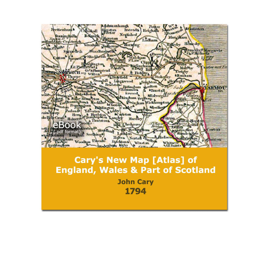
Cary's New Maps (1794 Atlas) of England, Wales and Part of Scotland
Cary's New Maps (1794 Atlas) of England, Wales and Part of Scotland
Couldn't load pickup availability
By John Cary
This digitized collection of 1794 maps faithfully reproduces the original indexes and maps from this 18th century atlas of England, Wales and southern portion of Scotland. PDF format.
Navigation tabs have been placed on the left-hand side of the screen to provide quick access to the book sections that are of interest to you. Those who seek a map of a specific place can easily find it by clicking on the tab “Place Name Index”. Locate the place from the alphabetical list, record the page number where that place appears, then click on the “Maps” tab, and scroll to the page number that you are interested in. The "search" feature has been activated however it does not point to words on the maps, only words that appear on the text pages -- best to use the original indexes (included) described above.
The content of the original atlas was re-organized from its 1794 published format to simplify use. Map pages that display only open-ocean without land masses, were omitted.
Details
165 Pages
Detailed Maps (colour)
Searchable
Originally published by John Cary, London 1794
This edition published by Global Heritage Press, Milton 2009 ISBN 978-1-897446-38-6
Share