Global Heritage Press
1893 Ordnance Gazetteer of Scotland with Detailed Maps
1893 Ordnance Gazetteer of Scotland with Detailed Maps
Couldn't load pickup availability
By Francis H. Groome
This multi-volume resource contains
- Gazetteer (1755 pages) provides details of history and development of Scotland in general and individual counties, cities, towns, villages and points of interest in particular.
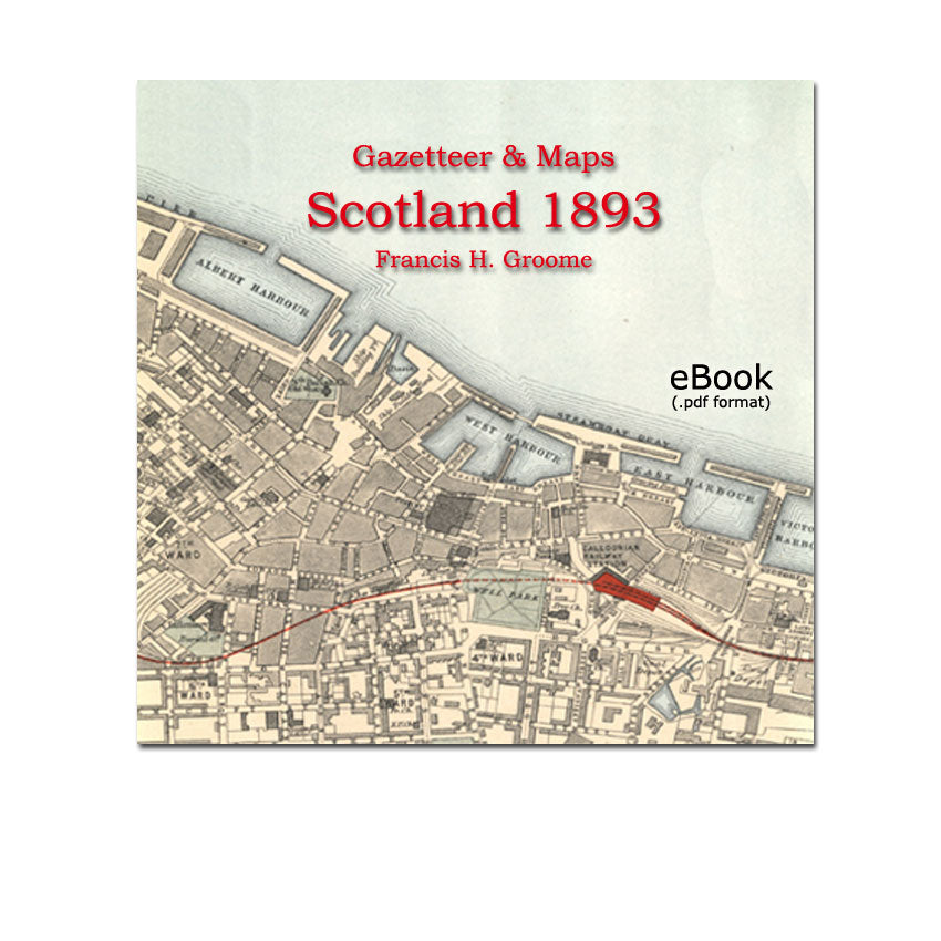
- Maps 37 detailed high resolution full colour maps (county, region & town plans). Some maps are scaled to show individual buildings.
- Photographs large format black and white
The high resolution maps can be magnified on your screen clearly, up to 600% to 800% or more so you can inspect the mapped areas in extreme detail. Maps can be printed in large formats with clarity. The best printing results will be achieved on a high quality paper at a printing shop.
Table of Contents with Examples
1893 Gazetteer of Scotland
- Vol 1 - Aan to Eynort (560 pages) Example Page
- Vol 2 - Fad to Lyth (568 pages)
- Vol 3 - Maam-Ratagain to Zetland (504 pages)
- General Survey of Scotland (121 pages)
- Leading physical features
- Mountains, lakes, rivers, and islands
- Botany of Scotland
- Geology
- Zoology
- Agriculture
- Fisheries
- Deer forests and grouse moors
- Industries, shipping, trade and commerce
- Roads, canals, railways, steamers, telegraphs etc
- Population
- Education
- History
- Ecclesiastical history
- Administration
- Scottish language and literature
- Gaelic language and literature
County Maps of Scotland (high resolution colour):
- Aberdeenshire
- Argyll-Bule
- Ayrshire
- Banff
- Bernick
- Caithness Example County map
- Dumbarton
- Dumfries
- Edinburgh-Midlothian
- Elgin-Nairn
- Fife-Kinross
- Forfar
- Haddington
- Inverness
- Kincardine
- Kirkcudbright
- Lanark
- Linlithgow
- Peebleshire
- Perth-Clackmannan
- Renfrew
- Ross-Cromarty
- Roxburgh
- Selkirk
- Stirling
- Sutherland
- Wigtown
Regional maps of Scotland 1893 (high resolution colour)
- Shetland islands Example Regional map
- Orkney
- Hebrides and Skye
- Estuary of the Clyde
- Estuary of the Forth
Town Plans of Scotland 1893 (high resolution colour)
- Aberdeen
- Dundee Example Town Plan
- Edinburgh
- Glasgow
- Greenock
Photographs - large format black and white
- Aberdeen Example photo
- Balmoral
- Ben-Lamond
- Ben-Nevis
- Brechin Cathedral, Roundtower
- Bridge on the Earn
- Corra-Linn
- Donolly Castle Oban
- Dunstaffnage Castle
- Edinburgh Castle , National Gallery
- The Chuchullins and Loch Coruisk
The complete original title: Ordnance Gazetteer of Scotland: A Survey of Scottish Topography, Statistical, Biographical, and Historical, published 1893
Details
This PDF file is large - 310mb. Please allow a adequate time for the file to download if you have a slow internet connection.
1755 page gazetteer + 37 maps in full colour
Originally published by William MacKenzie, Edinburgh, 1893
This edition published by Global Heritage Press, Milton 2014
Share