Nimbus Publishing
The Mapmakers’ Legacy: Nineteenth-Century Nova Scotia Through Maps
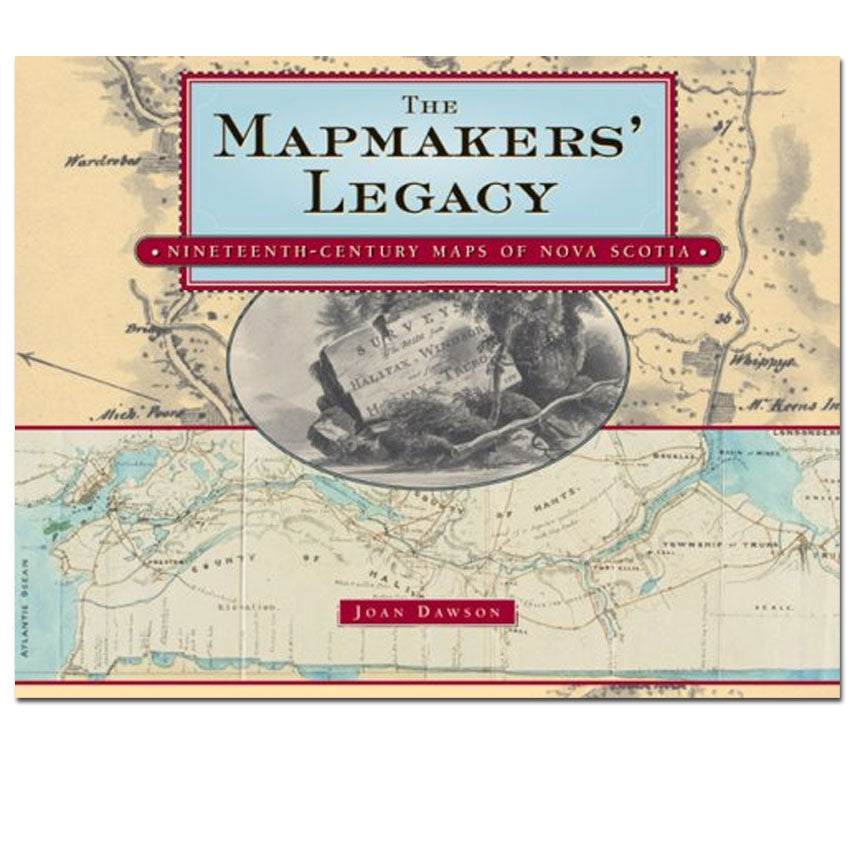
The Mapmakers’ Legacy: Nineteenth-Century Nova Scotia Through Maps
Couldn't load pickup availability
By Joan Dawson
This is a unique and captivating account of Nova Scotian cartographic history. Dawson examines Nova Scotia's development in the nineteenth century, first as a British colony then as a member of Confederation, as reflected in the many different types of maps made for various purposes during the century.
Any map or history enthusiast will be fascinated by Nova Scotia's evolution from a colony of military outposts and subsistence farmers to an increasingly industrial society. Early in the nineteenth century, maps reflected the settlement that was still taking place, the roads being built to link the settlements, the increasingly sophisticated defenses that were being constructed, and the attempts to identify the resources on which development would depend. In the second half of the century maps began to change, depicting the development of industries, the establishment of railways and shipping lines, and the growth of towns where enterprising manufacturers and merchants were setting up businesses.
Throughout The Mapmakers' Legacy, Dawson examines and explains the many maps that illustrate this evolution.
About the Author
Joan Dawson is a member of the Lunenburg County Historical Society, the Heritage Trust of Nova Scotia, the Nova Scotia Archaeology Society, and the Antiquarian Club of Halifax, and she is a fellow of the Royal Nova Scotia Historical Society.
Details:
152 Pages
6.25 X 9.25" inches
Index
Published by Nimbus Publishing, Halifax, 2007
ISBN: 978-1551096070
Share