Global Heritage Press
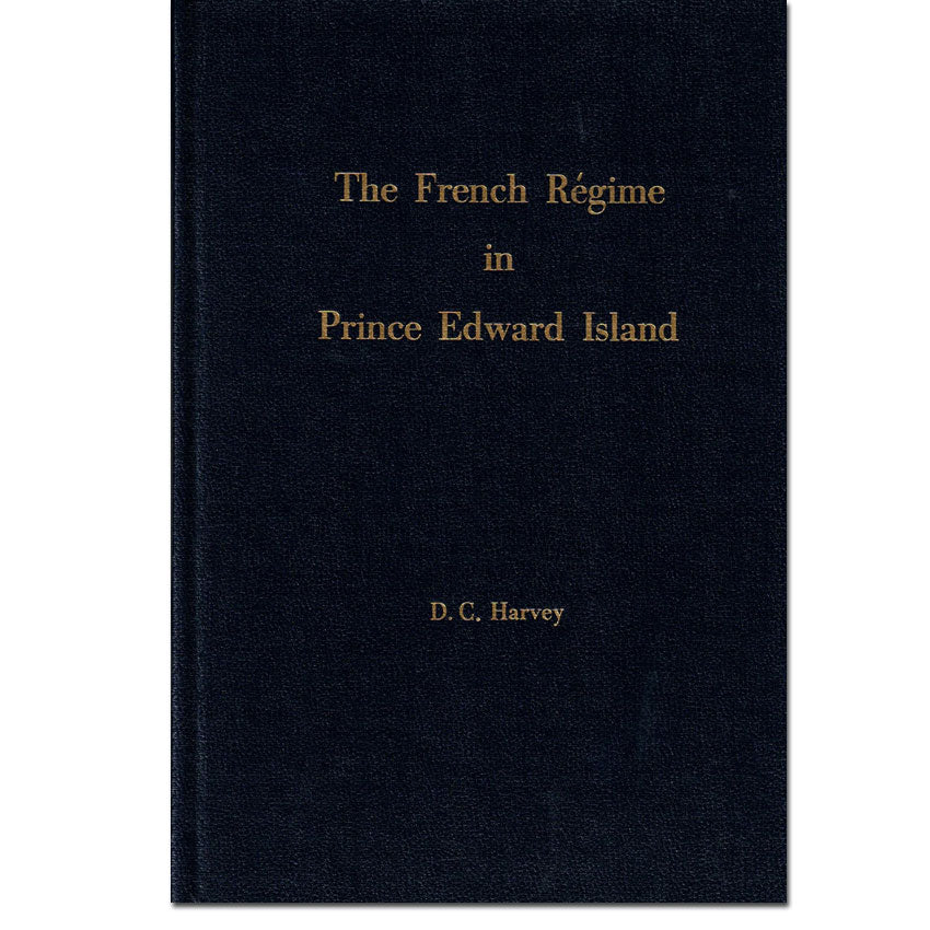
The French Régime in Prince Edward Island
The French Régime in Prince Edward Island
Couldn't load pickup availability
By D. C. Harvey
From settlement to expulsion (1720–1758), the reader explores the experiences of the inhabitants and learns how the politics of the time affected those French families who chose to settle on Île Saint-Jean (latter named Prince Edward Island).
Prince Edward Island, one of the Maritime Provinces of Canada, is about 225 kilometers (140 miles) long, ranging from 3 to 65 kilometers (2 to 40 miles) in width. Northumberland Strait separates the island from the mainland provinces of Nova Scotia and New Brunswick by less than 10 miles. Presently there are three counties: Prince, Queens, and Kings. It the smallest of the Canadian provinces.
During the French régime (1720–1758) Prince Edward Island was called Île Saint-Jean, but when the British took over they first Anglicized the name to Saint John's Island, then attempted to call it New Ireland, and finally named it for the Duke of Kent (Prince Edward), commander of the British forces in North America.
Contents include
- The Unknown Isle
- The Fur Trade and the Sedentary Fishery (la pesche sedentaire)
- Migration from Acadia after the English Conquest
- The Failure of Ie Comte de Saint Pierre
- The Island Reunited to the Royal Domam
- Roma and His Settlement at Three Rivers
- De Pensens and Duchambon: Lieutenants de Roi
- In the Hands of the English
- Rebirth of the French Colony
- Franquet Makes Plans
- The Census of Sieur de La Roque: 1752
- The Shadow of Calamity
- The Expulsion of 1758
- Social Life and Institutions
- The French and the Micmacs
- Epilogue
- APPENDIX A. Officers of Government
- APPENDIX B. The Clergy
- APPENDIX C. Census Returns [number of inhabitants by census year]
- APPENDIX D. Voyage of Gauthier
- APPENDIX E. Loss of the Duke William
- INDEX Browse the Index
Details
273 pages
6 X 9"
Index
Fold-out map in printed edition. Map is included in pdf format in digital version
Originally published by Yale University Press, New Haven, CT 1926
This edition published by Global Heritage Press, Milton, 2006
ISBN 1-897210-93-0 (hardcover)
Share


